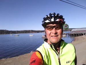
Ride 2019 Day 17
Once again, I wanted to get an early start and finish early, so I could spend extra time with my hosts for the night. I have been blessed on this ride with housing from people I’ve never met. Other hosts are people that are children of friends, though I’ve never met them. Such was the case tonight with Ellen Harrington, daughter of one of Becky’s friends. The ride was only going to be about 69 miles, so I was hoping to make it there by 5 PM. That wasn’t the only thing that didn’t go according to plan.
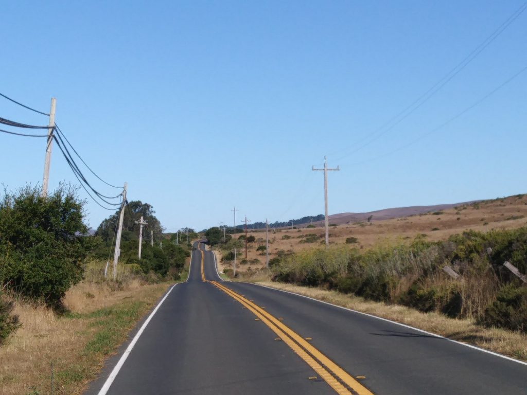
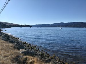
The countryside leaving the hotel in Valley Ford smelled like fresh hay and the there were cows and sheep calling across the fields. The landscape was a roller coaster ride until I got close to Tomales Bay. I was making good time on the flat stretch of road that followed the shoreline. There were more climbs as I made my way to Point Reyes. About a mile outside of town, I heard a noise coming off the bike. It sounded like some stick or plant had got caught in the spokes. On further inspection, I found that a spoke had broken on the rear wheel. About a week ago, I had lost a spoke on the front wheel. I found a bike shop on a map and gave them a call to make sure they could help. Everything seemed promising. I carefully and slowly rode into town.


Earlier I had been passed on the curvy, hilly roads by a half dozen European sports cars. They were driving like they were in a rally. I had seen packs of cyclists, too. When they passed me on the road it looked like the Peloton. When I got to the shop, the owner was able to work on Hidalgo right away. It was fortunate I got there when I did. By the time he was done, there were all kinds of people coming in needing work or supplies. Some were riding with a club, some were doing a ride for MS. There were over a hundred passing through town when I rolled in.
The broken spoke had put me back off schedule by at least an hour. Most of the afternoon was heads down riding. Since I was in Point Reyes, I ate a quick lunch there. I had a brief snack stop in Lagunitas, but otherwise only stopped after a big climb to get a little rest.

Navigation also slowed me down. After heading more inland, and getting closer to San Francisco, the towns became larger. Yesterday, the population of a town would barely exceed the elevation and I peaked at 600 feet above sea level. Yesterday the rout was basically “go south on CA 1”. Now I had to be careful not to miss a turn. And there were several. I missed more than one because some of the streets were close together. I wouldn’t notice the error until it was too late to go back. I had to pull out my phone often to get my bearings, as the GPS map view covers a very small area on its display.
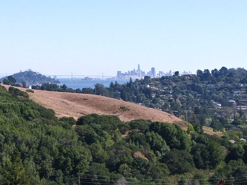
Things got worse as I approached the Golden Gate bridge. I followed signs for “bike route”, but as I rode further, there was a sign that said “No Bikes Beyond this point”! Eventually I learned that on one side they had pedestrians cross on a dedicated lane. On the other side of the bridge, they dedicate a lane to bicycles. I was on the wrong side. Some other bikers directed me to an underpass that led to the other side. There was a set of stairs – more than I wanted to carry a loaded Hidalgo. I recruited a strong young man to carry the panniers down, while I carried the bike. I had to find another recruit once I got to the other side to help carry panniers up a similar set of stairs. The ride across the bridge was beautiful. We could see things the people in the cars couldn’t since we were right next to the edge.


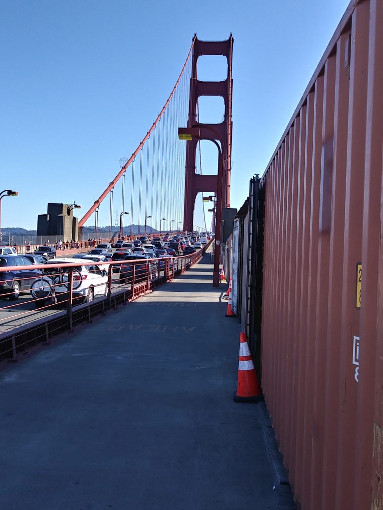

I was doing pretty well on time. I had got to the bridge before 4:30. I stopped for lots of photo ops, so it was a slow crossing the 2 mile expanse. When I got to the other side I saw more people than I’d seen on the entire ride. The planned route was taking me along the wharf and shore. It was scenic, but it was a sea of humanity. I was also supposed to take bike trails immediately after crossing, but with all the people and confusing signage, I had trouble finding them. The GPS was no help. It would only complain that I was off course. I had to refer to Google maps on my phone to get a bigger picture and more accurate location. Unfortunately, my phone was almost dead. I unpacked a portable charger, with its dangling cable and stuffed it all in my jersey pocket. This made it even slower to check things on my phone. After fighting crowds of people along the wharf for 20 minutes, I finally gave up and took to the streets. The whole time, the GPS was complaining to me about being off course and I tried to hear what Google maps was saying. I had to stop and take the phone out often at intersections. I estimate it took me 90 minutes to make the final 6 miles to my hosts. I have run that distance in half the time.


They fed me well and we had great conversation. They helped me plot a route out of town tomorrow and will give a real breakfast in the morning. I can’t thank them enough. While it wasn’t the longest day in distance, it was the longest in travel time. The official ride summary is here.
The Lone Rider
Leave a Reply