Ride 2016 Day 16
When I was in college as an engineering major, we still had to take some non technical electives. I took a lot of history and also a landscape architecture course. Both helped me better understand how the land was settled and developed. Settlement followed the main transportation systems at the time. After landing on the ocean’s coast, rivers and waterways were still the main arteries of trade and transportation.
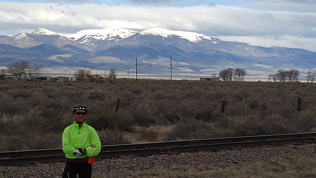
Out west it was the main wagon trails, but it was also the railroad. I could see remnants of that history as I made my way along US 160 from Monte Vista to Alamosa, Blanca, Ft. Garland, and finally Walsenberg. The highway ran parallel to the railroad tracks all the way. There were lots of references to the Santa Fe RR in most of the towns. In fact, I think it was the Santa Fe label associated with the workers that were doing maintenance on a section of the track as I left Monte Vista.
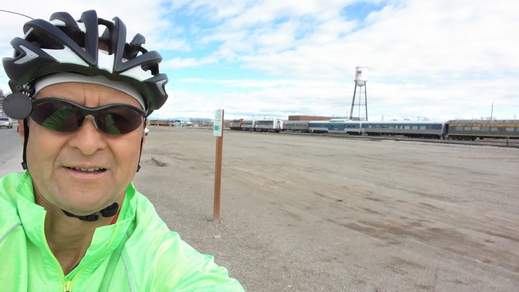
My brother Mike kept telling me to appreciate the mountains on these next 2 days, because he said I would miss them by the time I got to Kansas. I still got my “Monte Vistas” today on all sides along the ride. 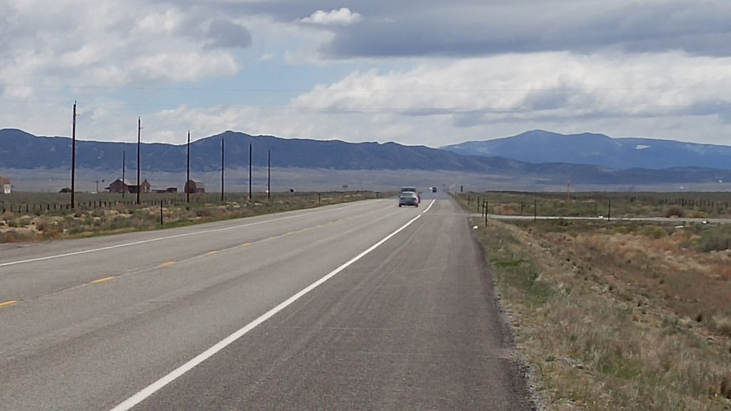

 Today was pretty flat to Alamosa. I had a tailwind, so I made good time. I had second breakfast at a gas station mini mart. Mike and I listened to some old ranchers discuss the finer points of distinguishing the best hot peppers.
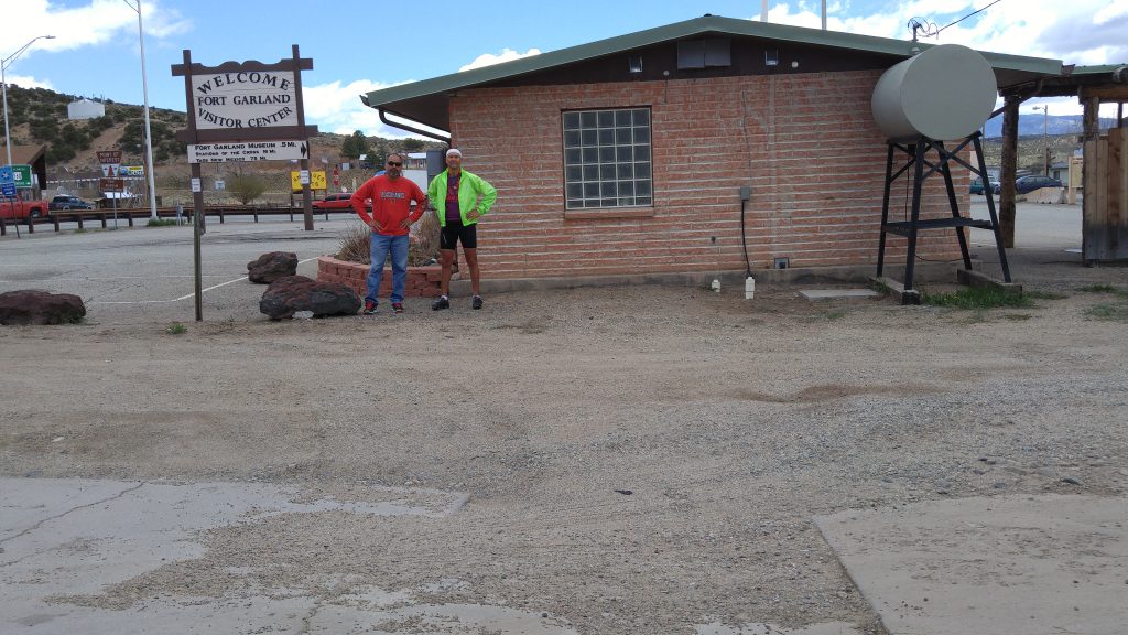
Just after Blanca, I had a big climb lasting about 25 miles taking me up another 1,860 feet to the summit of 9,413 feet. Fortunately, I had a tailwind most of the way. When the wind did shift, it was a harder effort. I put on some warmer clothing in preparation for the climb. My weather report showed a temperature of 36F at the summit at noon. I was more than 2 hours away, but I didn’t want to freeze. After yesterday’s climb to Wolf Creek Pass, this seemed easy. It was half as tall, and although it was windy, I wasn’t being pelted with snow. It was sunny and about 25 degrees warmer than the 20 something degrees I had yesterday.
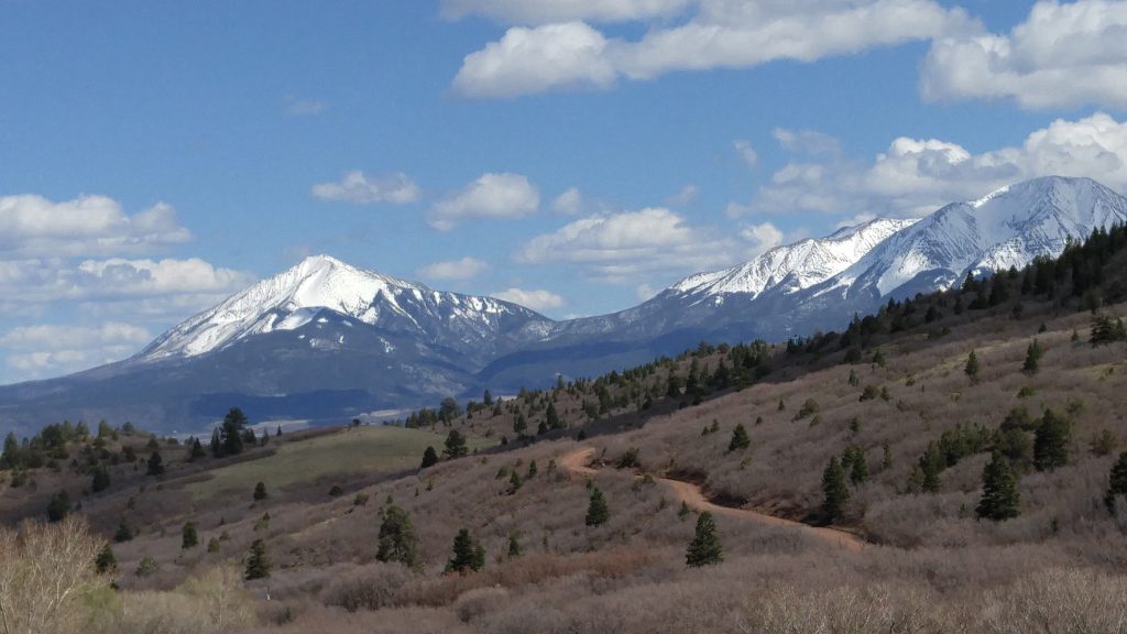
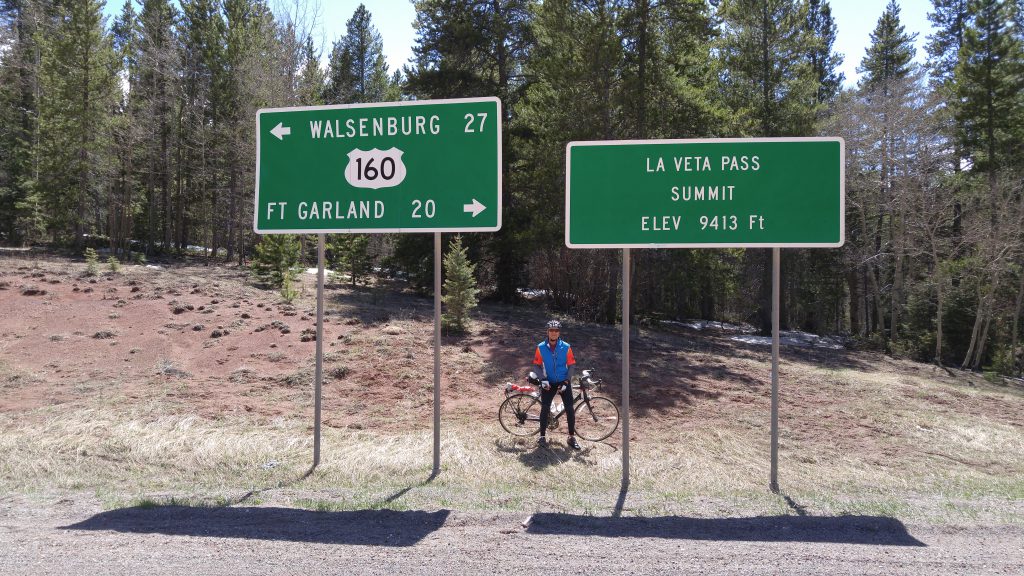 After I met Mike at the summit, I went flying downhill. My top speed was 41 mph. For the next 16 miles I didn’t need to pedal. I had to use the brakes a lot to make sure I wouldn’t lose control. Even with the braking, I was cruising along at 25 to 30 mph. I tried to keep track of the traffic behind me in my mirror, but the road vibration made it difficult to see if the vehicles were coming or going. I tried to use more of the regular lane when it was clear behind me and then use brakes and get jerked by the rumble strip as I got to the shoulder to avoid the approaching traffic behind me. Although the shoulder was wide, it was still a little scary to try and stay straight when trapped between the rumble strip and a guard rail at 28 mph. Except for the second day when I was pushed by gusts of up to 50 mph, I have never ridden so fast for so far. The tailwind wasn’t as strong, but now I also had a steep downhill that went for miles. Taking Mike’s advice, I stopped a few times to admire the mountain views and take a few pictures.

The original plan for today was to finish in La Veta, a ride of 77 miles. Since I was likely to get a tailwind, and I would have a long downhill either way, we decided to push on to Walsenberg instead. 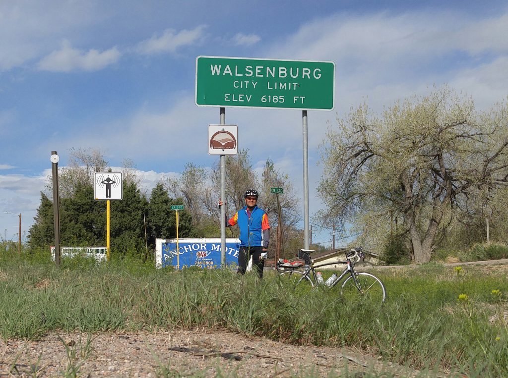 This would make the longest ride of the trip so far at 90 miles. Our only concern was that we could only find one motel when we searched yesterday on Google. That one hotel was 2 miles north of the rest of the route. When I hit Walsenberg, I was checking my bearings and magically Google had found 5 more possibilities right in Walsenberg. I rode a few more blocks to one that caught my eye.
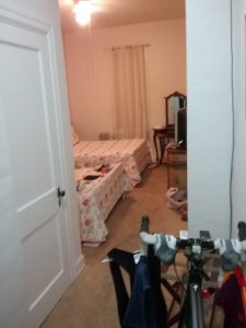
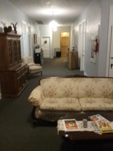 The La Plaza Inn was established in 1907, had a room with 2 beds for 40% less than our original target. It had fresh paint, kind of old beds, but a ton of character. Definitely part of the adventure!
The Lone Rider

Leave a Reply