Ride 2016 Day 12
Try as I may, I still had trouble getting on the road before 8AM. I was a little apprehensive about today’s route. While it was ONLY supposed to be about 65 miles, the route took me along roads that were not well-marked. Outside of the hotel, I could still make calls and send/receive texts, but all other services were nonexistent. Google maps still worked, but only major roads were shown and it could find my position. If I went off the main roads, I would be off the grid. I was going to be off the grid.
Months ago when I was planning this route, I had created pdf files for each day’s route, that included turn by turn directions with distances. That came in handy after I left Montezuma Creek, UT. I wanted to be sure to “Turn left at Indian Rte 5066/ Ismay Trading Post Road at 7.1 miles.”. Google has twice led me down phantom roads that were not there when I tried to find them. This time I had checked the satellite views of the route. I could see that the recommended route existed. I just had to find it. If not, I was going to ride an extra 20 or 30 miles on a day that already had a net 1900 ft. elevation gain.
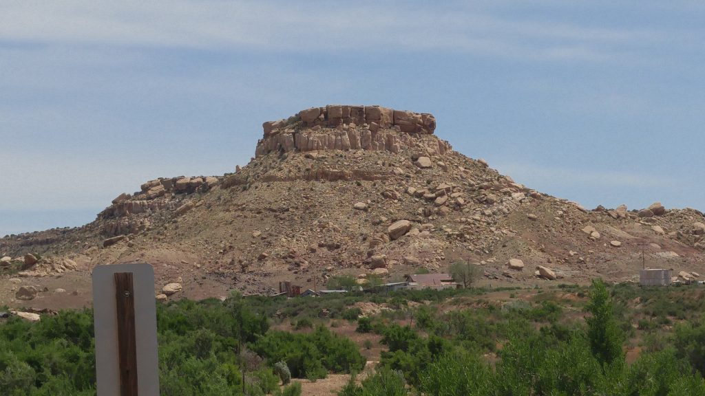
 With my bike computer and noting the mileage as I left Montezuma Creek, I came to what I thought was the road. At least there was a sign that said “Hovenweep National Monument ” and the road was paved. I turned up the road. It seemed to be headed in the right direction according to my compass. I noted that the next turn was going to be in 12 miles. After going on the roller coaster terrain against the wind, I found a second sign that told me I was on the right track and that Cortez was 32 miles away. I was almost halfway there.
  I knew I needed to look for “County Road G”. Sure enough, 4 miles after the final turn I saw a sign indicating County Road G as I crossed into Colorado. It was the last road sign I saw for 40 miles.
Shortly after entering Colorado, everything seemed to be greener. The road was parallel to a creek or river. I saw deciduous trees for the first time on the trip. I only saw vehicles every 5 or 10 minutes most of the ride. However, a few miles in there was a bit of a traffic jam. 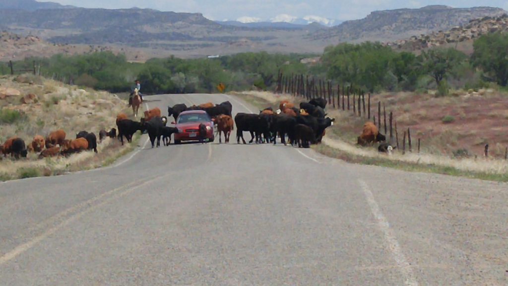
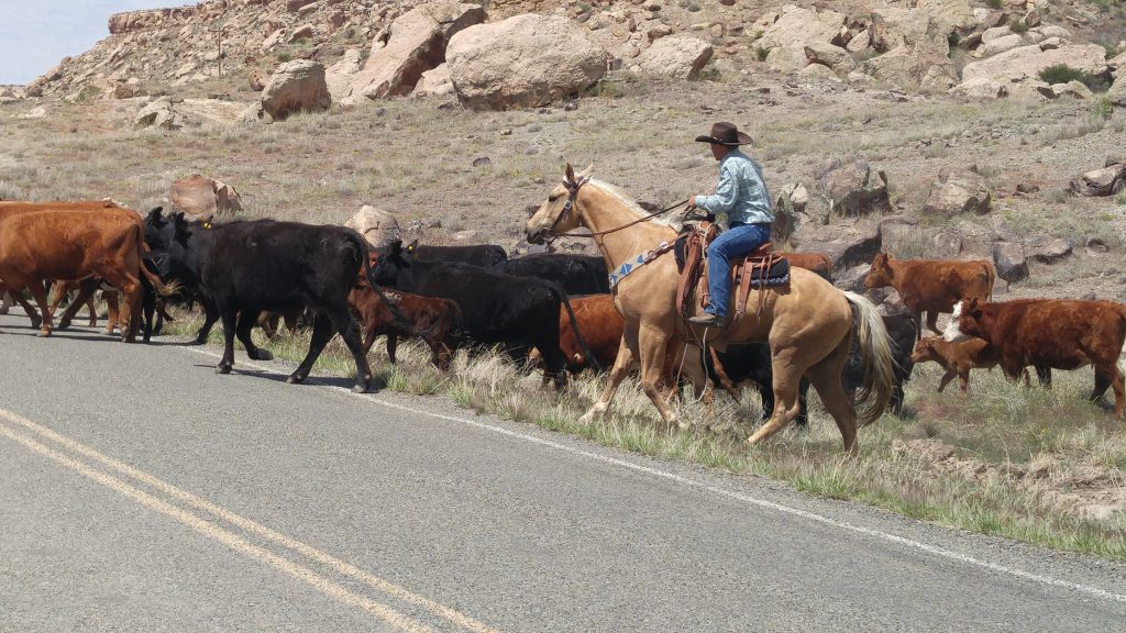 A herd of cows was blocking a car coming my way. After a few minutes a genuine cowboy on his horse herded them to the side of the road and let the car pass. I took advantage of the clearing and got through as well.
Even though the riding was a grind, there was still great scenery. I had what little food I kept it the panniers along a stream under the shade of some aspen trees. 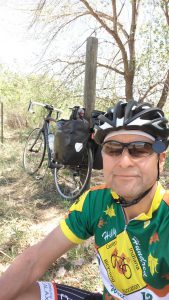
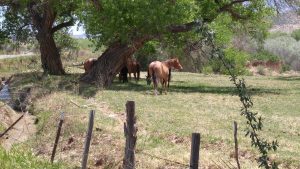 Some horses continued their conversation and one cooled his hooves while I took some time off the saddle. I also came across a few wineries along with the many ranches along County Road G.
  By that time I needed water more than wine.
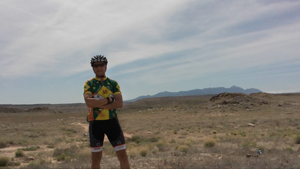
Today was the first day that I didn’t see another adventure cyclist. I may have had more traffic in the desert. But it least it meant I was probably safer.
As I stated before, I had a net climb of about 1900 feet. To get that, I actually climbed close to 3100 and got some downhill of 1200. I think there is a Newton’s Law for biking hills. It states for every downhill there is a larger uphill. That’s the way it felt today. On top of that I was headed east and the wind was primarily out of the East or Southeast. 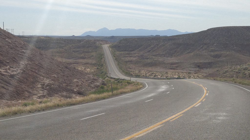 After 40 miles of no support services I was pretty beat when I finally reached the edge of Cortez.
To make it even better, my brother Mike had come out and was there to greet me. He took my panniers and I rode “naked” for the final 4 miles. He will support me over the next week or so. Hidalgo and I will be without the weight of another Hidalgo on the rear wheel. It will really help over the next few days of climbing.
The Lone Rider
Leave a Reply